Home
About
Labs
Start a Lab
Guidelines
Learning Resources
More
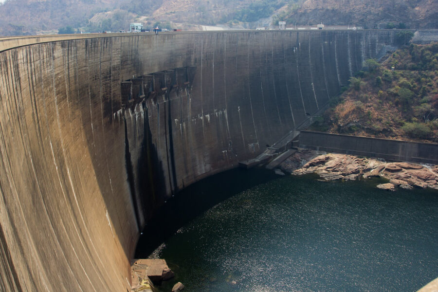
Can the size of Lake Kariba in satellite images predict Zambia’s power cuts months ahead?
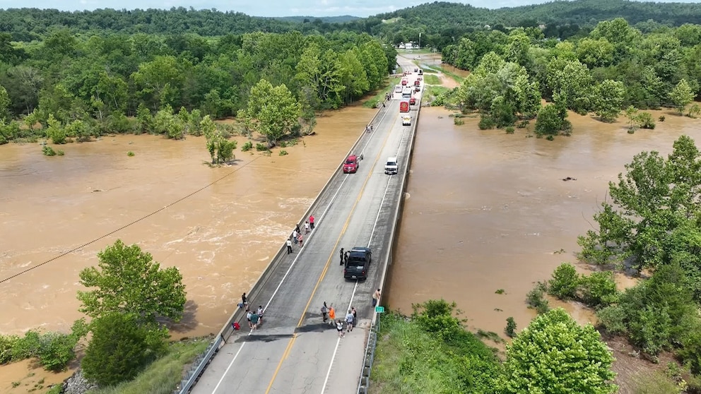
Which culverts will wash out with tomorrow's storm?
How many years after a California wildfire do the roads below the burn scar stay at risk of debris flows?
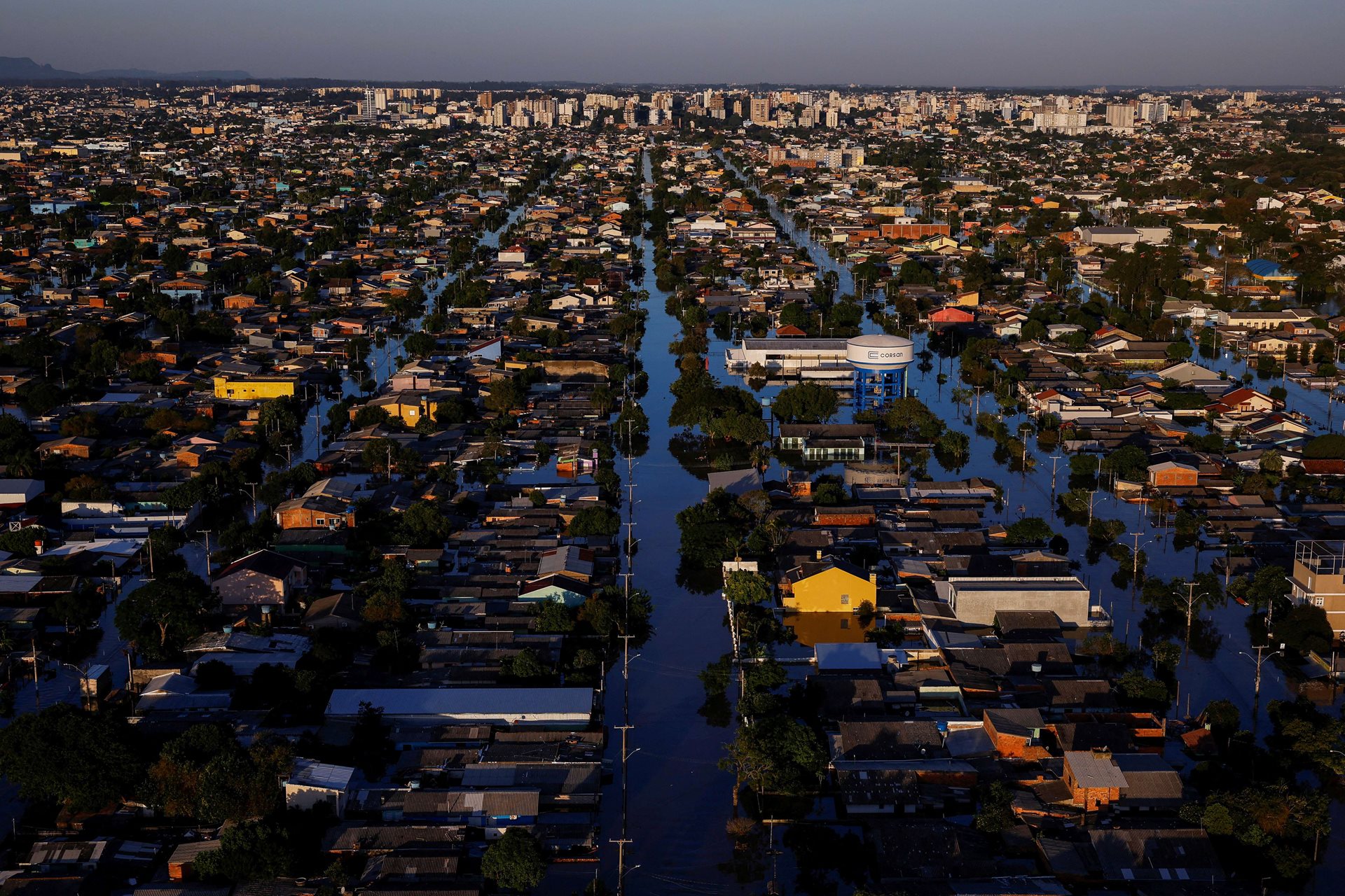
Can remote sensing show us where road structures block natural flood drainage during prolonged regional disasters?
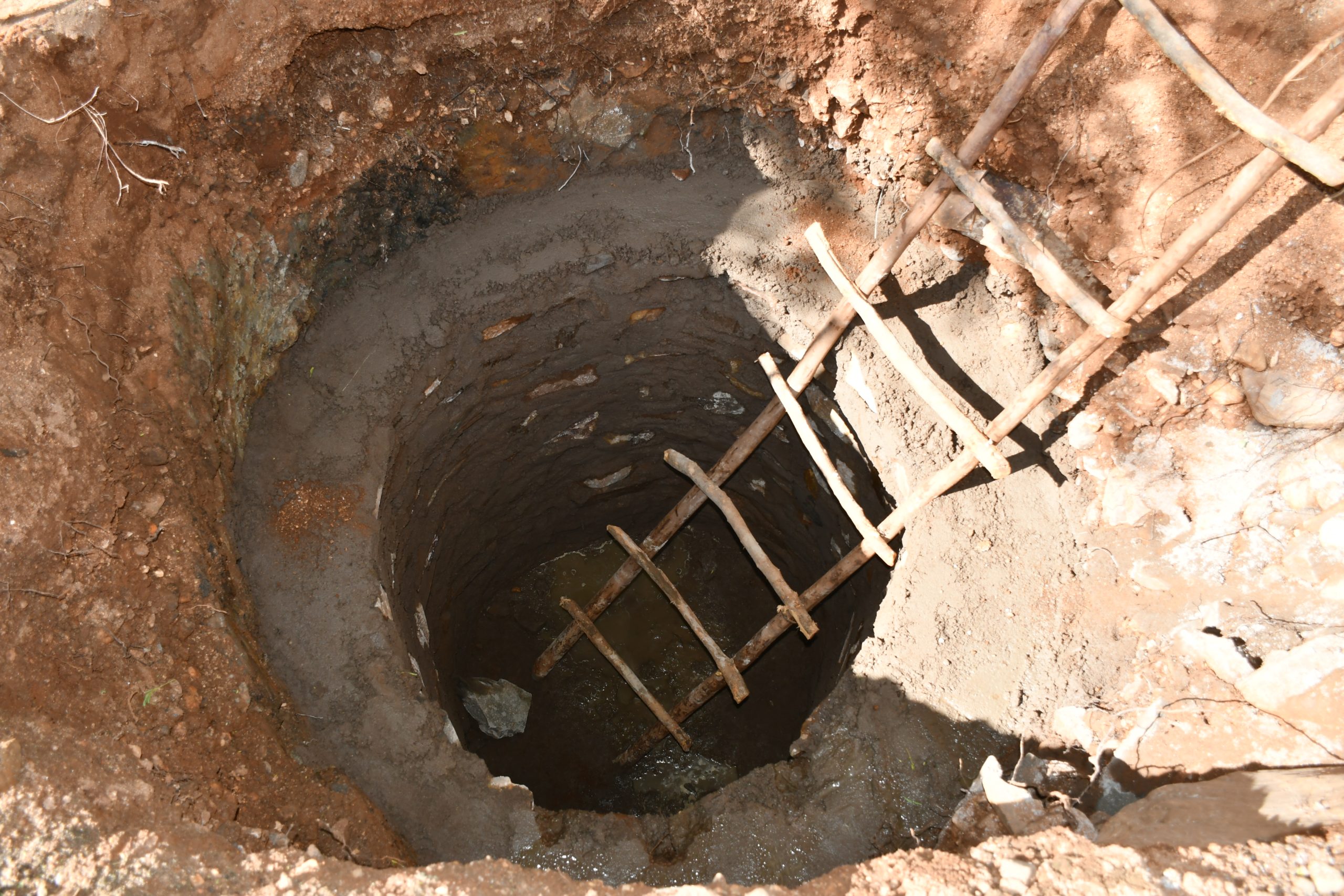
Which hand pumps in East Africa are likely to fail before the next dry season?
How accurately can flood history and terrain data pinpoint electrical substations at risk of shutting down?
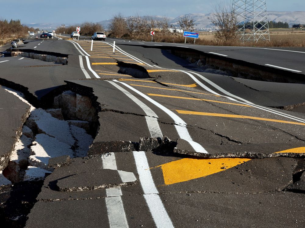
Can remote sensing spot earthquake-damaged roads fast enough to reach towns cut off from emergency care?
How quickly can remote sensing detect landslide dams in mountain valleys before they burst and flood downstream towns?