Roads Beyond Reach
Can remote sensing spot earthquake-damaged roads fast enough to reach towns cut off from emergency care?
Image Credit: Benoit Tessier
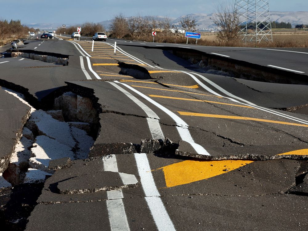
After the 2023 earthquake in Türkiye, roads were blocked by collapsed buildings and broken bridges, and some towns were cut off from hospitals for days. The best published model for finding damaged roads in satellite images misses more than half of them. We will train an image classifier on tiles of post-earthquake satellite images along the road network, using the damage grades the Copernicus emergency service already published as labels, then trace each detected cut through the road network to find which towns lost their only route to a hospital. The output is a map of isolated population by district and the road-cut dataset for others to use.
Research questions
Can a classifier trained on labeled image tiles find road cuts after the Türkiye earthquake with recall well above the published 0.45?
Which towns lost every road to a hospital, and how many people lived in them?
Datasets
Maxar Open Data satellite images of Hatay and Kahramanmaraş after 6 February 2023
Copernicus Emergency Management Service damage grades, as the labels
Humanitarian OpenStreetMap Team road-damage mapping from the same event, as extra labels
OpenStreetMap roads, hospitals and markets
WorldPop population
Machine learning
A small convolutional neural network (a ResNet fine-tuned from standard weights) that classifies 256-pixel image tiles along roads as cut or intact, trained on one province and tested on the other
GIS
Clip image tiles to a 20 m buffer along every road centerline
Build the road network as a graph and compute the shortest route from every settlement to the nearest hospital and market, before and after the detected cuts (networkx)
Count the population in settlements with no remaining route or a route longer than two hours
Aggregate to districts for the public map
References