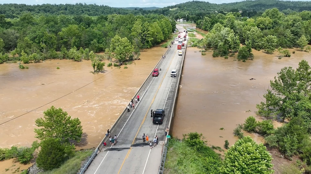
Embankment Dams
Can remote sensing show us where road structures block natural flood drainage during prolonged regional disasters?
Image Credit: Heartland News
Highways and railways built across floodplains sit on raised banks, and when the banks have too few openings they hold floodwater back like a dam. In Sindh, Pakistan, in 2022, water stood for months behind road and rail lines and two national highways had to be breached on purpose to let it drain. We will use radar flood maps to measure how many days water stayed on each side of one highway during that flood, and train a model to predict which segments held water back from the number of bridges and culverts per kilometer and the shape of the land around them. The output is a map of the segments that need more openings, for the highway authority.
Research questions
Along one Sindh highway in the 2022 flood, which one-kilometer segments had water standing longer on the upstream side than the downstream side, and by how many days?
Can the number of openings per kilometer and the amount of land draining toward a segment predict which segments held water back?
Datasets
Copernicus Global Flood Monitoring flood observations from Sentinel-1 radar, June to October 2022
FABDEM elevation, for which way water flows and how much land drains to each segment
OpenStreetMap highway and railway lines with bridge and culvert tags
Sentinel-2 images at low water, for openings OpenStreetMap missed
CHIRPS rainfall; WorldPop and Google Open Buildings for people and houses upstream
Methodology in progress.
References